Geoturist trail

Wapienne białe skały w dolinie.
Innovativesolutions are initially treated with a certain measure of mistrustand it is usually a long time before it can be said that some of themare really special. And then suddenly, out of the blue, one startswondering why they are being introduced so late...

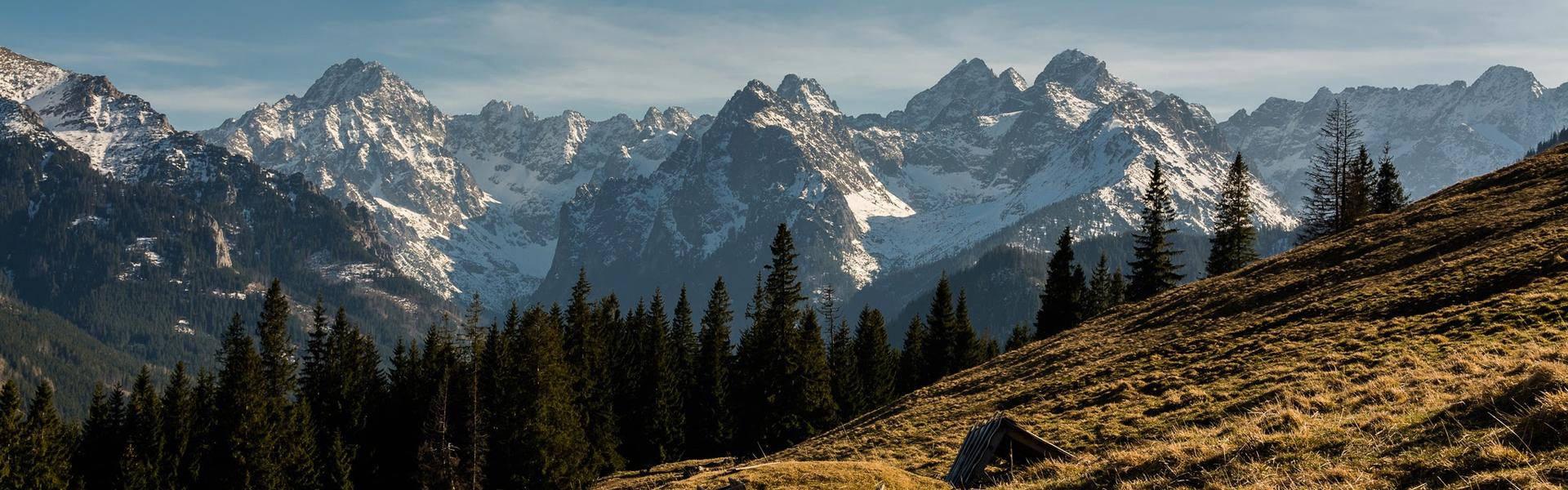
Geotourismis definitely one of them – it’s a type of knowledge-basedtourism based on contact with geology and dynamic processes which areconstantly taking place not only on the Earth surface. To some it maysound familiar, some will definitely think: geology? How could it beinteresting? The truth is though that we come in contact with itsurprisingly often, particularly when we are on holiday in Małopolska(Lesser Poland). Rocks, valleys, caves, small springs, mines whichcan be found here were formed as a result of geological processes.Amongst them there might be places one has known since they were achild, but not geologically...Andin Małopolska (Lesser Poland) there is an abundance of geotouristicattractions. The above mentioned forms can be found in unimaginableforms – rock monadnocks, small valleys and caves – in thenorth-west and in the Tatra mountains, small streams – in the southand in the centre - mines – it’s embarrassing not to know this.However, these are only some of the objects and there are many morewhich need discovering...


Multimedia


Download free VisitMałopolska app
 
Android
Apple iOS
Windows Phone
<
>
   
Back

Jura Upland Bicycle Trail of the Eagles’ Nests (Małopolska region section)

Jura Upland Bicycle Trail of the Eagles’ Nests (Małopolska region section)

zamek
The Trail of the Eagles’ Nests is a must for every fan of cycling. The trail meanders around the recesses of the Kraków-Częstochowa Upland, presenting what it has the best to offer, i.e. ruins of castles and endless forests, e.g. the Dulowska Forest.
Difficulty: Medium
Trail length: 89,1 km
Facilities: Camping sites, Place for a bonfire, Viewpoints, Information boards, Educational paths

The section in the Małopolska region is mostly devoid of what is most characteristic of the Silesian part of this trail, i.e. a large number of sandy fragments. Of course, we also come across them, but they are not really long. Anyway, for this trail we recommend a bike with wide tires (mtb / tourist / gravel). The trail is very well marked, there are several resting places along the way with information boards and mileage boards. Up to Krzeszowice the trail runs practically parallel to the trail of the future VeloRudawa route and the railway line.

The maximum altitude is: 464 m asl. The lowest point on the route is at an altitude of 207 m asl.

The trail runs 44% on roads separated from car traffic. 44% of the route runs through forest.

The route runs through the following protected areas:

Landscape Parks: Eagles' Nests Landscape Park, Krakow Valleys Landscape Park, Tenczynek Landscape Park

Reserves: Eliaszówka Valley

Natura 2000: Jurassic Valleys, Jaroszowiec, Czerna, Krzeszowice, Ostoja Środkowojurajska

Tourist attractions: Wooden Villa from 1896 (Zabierzów), Carmelite Museum in Czerna (Krzeszowice), Museum of the Krzeszowice Land (Krzeszowice), Potocki Palace in Krzeszowice (Krzeszowice), Vauxhall Palace (Krzeszowice), Rabsztyn Castle ( Olkusz), Tenczyn Castle (Krzeszowice), Castle in Bydlin (Klucze).


Natural attractions: Natura 2000 – Czerna, Natura 2000 – Jurassic Valleys, Natura 2000 – Jaroszowiec, Natura 2000 – Krzeszowice, Natura 2000 – Ostoja Środkowojurajska, Eliaszówka Valley Nature Reserve, Racławka Valley Nature Reserve, Ruskie Góry Nature Reserve, Skała Kmita Nature Reserve, Smoleń Nature Reserve, Krakow Valleys Landscape Park, Eagle Nests' Landscape Park, Tenczynek Landscape Park.

Facilities: Camping sites, Place for a bonfire, Point of observation, Viewpoints, Information boards, Shelters, Educational paths
Type of surface: unimproved dirt road, improved dirt road, asphalt (even), asphalt (poor quality), concrete cube